|
Waters between Canada’s Vancouver Island and the mainland
are divided into two parts at Campbell River. The area south of
the city is well populated with summer homes, multiple recreational
boating facilities, warm summer weather and tides that flood in
from the south through the relatively wide, unrestricted Strait
of Georgia. North of Campbell River the tides flood in from the
North Pacific through passages made tight by many islands. Recreational
boating facilities are few, summer homes as rare as municipal
power, and the weather much colder and less predictable.
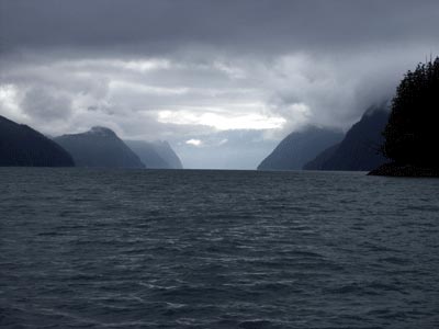
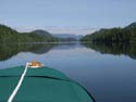
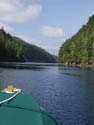
Kingcome Inlet
These differences make Campbell
River the northern terminus for most small boat skippers traveling
up from the American San Juans and the Canadian Gulf Islands.
Another factor keeps boaters new to the area south of Campbell
River: the whirlpools. There are two pinch-points on the way north
through which non-planing hull boats must traverse at slack water:
Seymour Narrows and Yuculta Rapids. At these two places tides
roar during big seasonal runs.
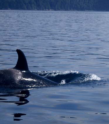
Close
Rumors that even the orcas await
the slack and of small boats being sucked under have created a
widespread respect among visiting skippers even if small, high
powered skiffs are seen running the gauntlet at all hours. The
amount of water held back in the many deep inlets and channels
in the area makes it easy to understand the force of the 12-foot
tides around Vancouver Island’s inland sea. Having visited
the area below Campbell River on three different occasions, my
wife and I decided to go north and explore the waters above Campbell
River this summer.
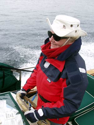
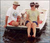
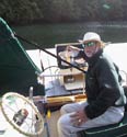
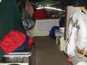
First Mate
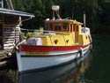
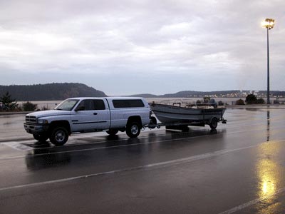
Launching at historic Telegraph Cove, one of the few back-down
ramps on Northern Vancouver Island, we first struck out to find
the fabled Orca. Luckily, we’d asked a whale-watch boat
captain the night before where we might find the whales, never
having seen them on previous visits. He gave us instructions based
on tides and salmon movements. Sure enough. Within ten miles we
were paralleling a herd with a big male and families trailing
along behind.
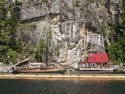
Historic Telegraph Cove
A good start behind us, we headed for the Indian village of Alert
Bay and the U’mista Cultural Center. The Center contains
artifacts confiscated by government agents during the turn of
the century prohibition of native potlatches. They were returned
to their rightful owners by the government on the stipulation
that a proper museum be built to safely maintain this historic
treasure trove. It’s a wonderful place where outsiders can
study the many historic and cultural pressures that have shaped
this northern land.
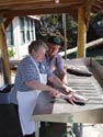
Native canoe building - Alert Bay
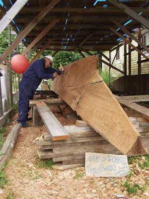
After a fascinating visit with a native chief who was building
a huge cedar canoe (no building molds, thank you very much), we
got a late start up Queen Charlotte Sound toward Port Hardy, the
uppermost port on the Island. It was a slow 20-mile ride -- (how
else can I put it when traveling against the tide in a 20’
Tolman skiff?) -- into an unregulated chop. We got far enough
offshore to be mixing with cruise ships and big draggers and got
to wondering about cold water suits and the reliability of the
Yamaha 100. I’m still thinking about immersion suits, but
the Yamaha is as trustworthy as oars and a lot easier to use.
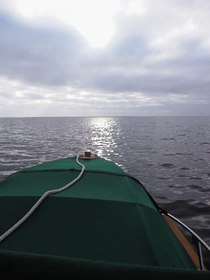
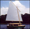
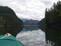
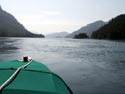
Queen CharlotteCrossing
Early the following morning, we made the 30-mile trip across
Queen Charlotte Sound to Sullivan Bay and the island-crowded archipelago
clogging the mainland side of Johnstone Strait all the way south
to Campbell River. The few settlements that exist in this vast
roadless network of channels and inlets are all on generator power,
and many are built on floats and are connected to the outside
world by float planes and water taxis.
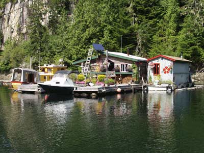
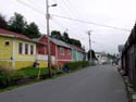
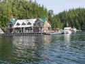
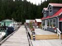
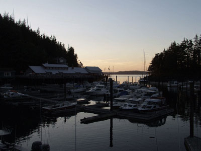
Sullivan Bay floating main street
Few outboard-powered boats travel these waters, and we were always
the smallest craft in any anchorage or harbor, and were asked
on more than one occasion, “Is that your boat or your dingy?”
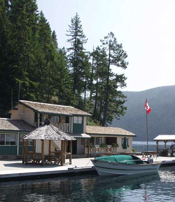
During our eight days of boat camping, we covered nearly 600 beautiful
miles, the trip made easier by a new 182C Garmin GPS and a Floscan
which told me exactly how much gas I had used between widely-spaced
fuel stops. Each stop -- Sullivan Bay, Greenway Sound, Quatsi
Bay, etc -- was made unique by the owners who try to make a year’s
wages during a very short season. Be it free shrimp during happy
hours on the dock or the best cinnamon buns in the world, each
stop brings back special memories of beautiful places and friendly
people in protected waterways.
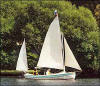
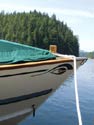
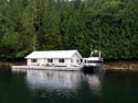
Lunch Stop - Cordero - My Tolman moored
with the Canadian flag in the background
We got as far south as Big Bay, just above Yucalta Rapids. My
wife and I wanted to say we’d run them and went south through
the Rapids at dawn 90- minutes after slack. Locals had looked
at my Tolman skiff and said anything within a two-hour window
would be a cake walk. Turning north through Hole-In-The-Wall was
another thing. It was roaring, and the whirlpools looked quite
serious. Going with the outflow of the whirlpools shot us out
the backside in a very exciting fashion and we were on the way
back up Johnstone Strait through another pod of whales to Telegraph
Cove and home. Fantastic.
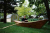
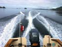
Homeward Bound
|